S'COOL: Mammatus Clouds
Under a Cumulonimbus Cloud - I
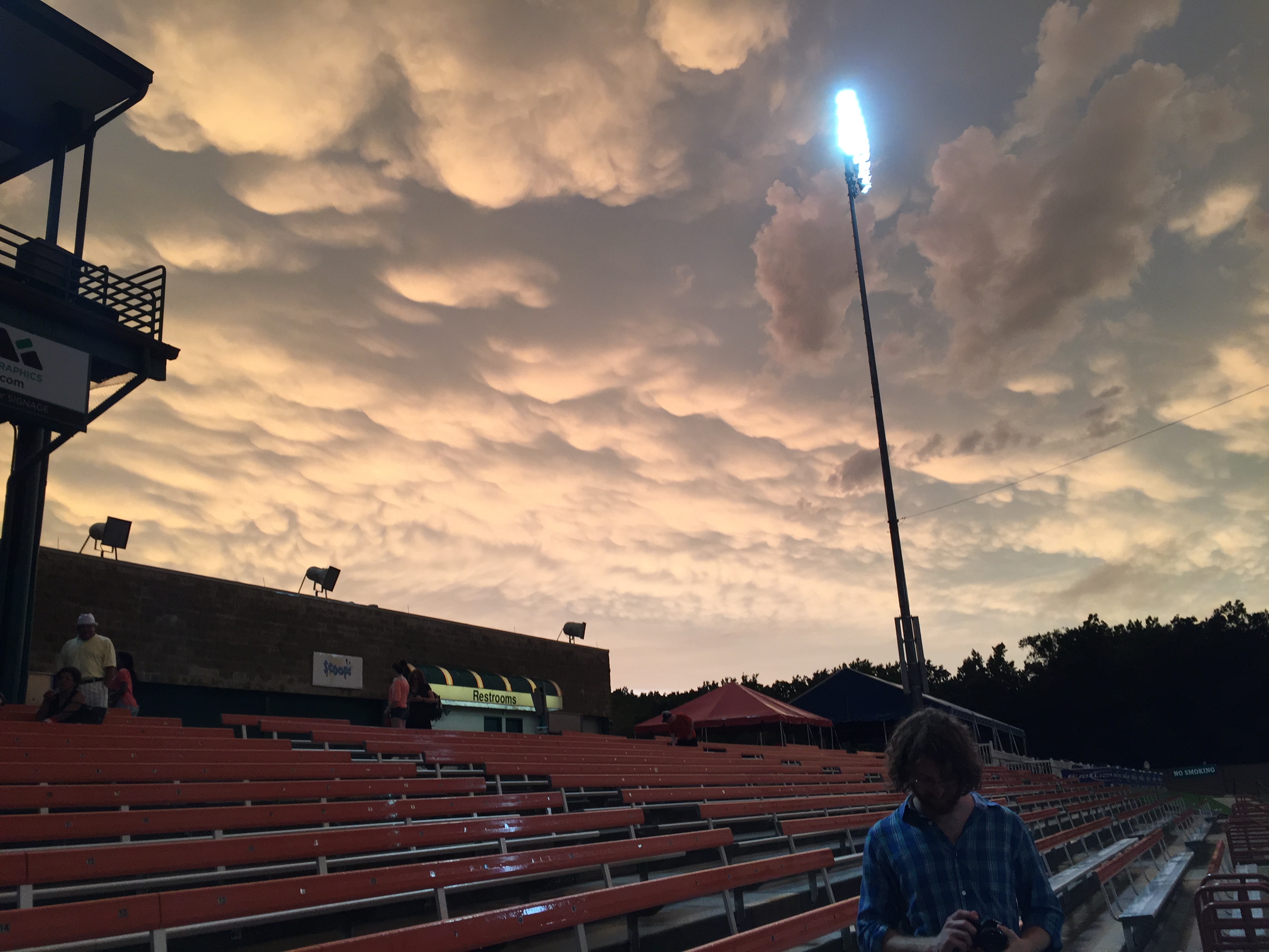
Mammatus clouds do not always occur with cumulonimbus clouds, but when they do they are often very eye-catching. This example was during a summer thunderstorm. The National Weather Service describes them this way: "Clouds with pouch-like downward extensions associated with very active cumulonimbus in latter stages of development. Mammatus occurs when air from the cloud layer descends into the clear air below and the cloud droplets evaporate, cooling down the air and making it descend even faster. Some of the cloud is dragged down, creating the appearance.”.
Photo by Lauren Chambers in Maryland.
Under a Cumulonimbus Cloud - II
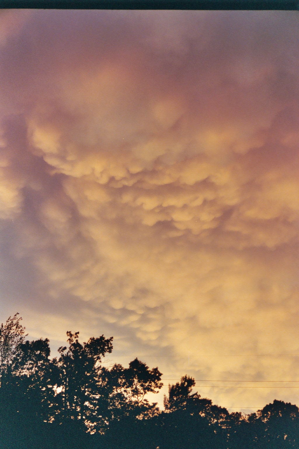
Another possible thing you can see beneath a cumulonimbus cloud is called mammatus. This is an indication of very active updrafts and downdrafts and can be a sign of severe weather. This particular photo was taken after a VERY intense thunder/ rain storm. Presumably there were more extensive and larger mammatus earlier, but it was pitch dark during the storm!
Photo by Laura Hinkelman in Connecticut.