S'COOL: Cirrocumulus Clouds
Cirrocumulus with Cirrostratus
Photo by Jay Madigan on June 23rd, 2011, Hampton, VA
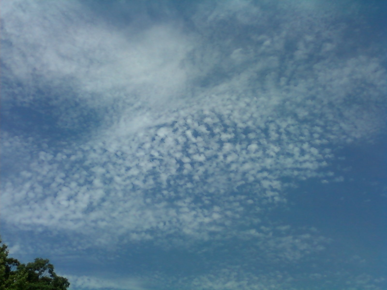
This image is an example of small cell cirrocumulus blending into a thin,
high-level cirrostratus cloud deck.
Photo by Jay Madigan on June 23rd, 2011, Hampton, VA
This image is an example of small cell cirrocumulus blending into a thin,
high-level cirrostratus cloud deck.

Cirrocumulus
Photo by Jeff Caplan, NASA Photographer in 1997. This is an example of fairly large-celled cirrocumulus, mostly cloudy and pretty much translucent.
Photo by Jeff Caplan, NASA Photographer in 1997. This is an example of fairly large-celled cirrocumulus, mostly cloudy and pretty much translucent.
Cirrocumulus with cirrus
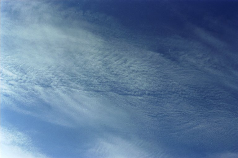
Photo by Lin Chambers on April 17th, 1999. This image shows an example of multilayer cloudiness within a single cloud level. The cirrocumulus appears to be above a lower layer of much smoother cirrus. This indicates different wind characteristics in the two layers (probably turbulent at the higher level and much smoother at the lower level).
Photo by Lin Chambers on April 17th, 1999. This image shows an example of multilayer cloudiness within a single cloud level. The cirrocumulus appears to be above a lower layer of much smoother cirrus. This indicates different wind characteristics in the two layers (probably turbulent at the higher level and much smoother at the lower level).
Cirrocumulus
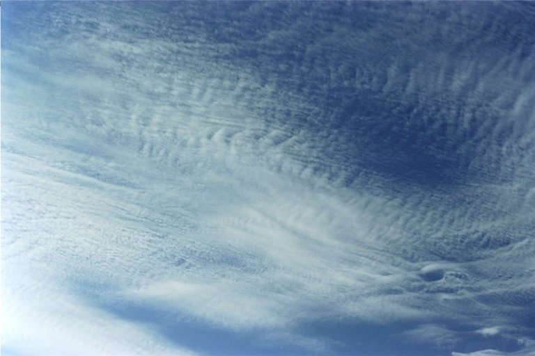
Photo by Lin Chambers in Southeastern Virginia, April 1999. This is another part of the sky on the same day as above. Again there is evidence of a lower smooth cirrus layer with cirrocumulus above.
Photo by Lin Chambers in Southeastern Virginia, April 1999. This is another part of the sky on the same day as above. Again there is evidence of a lower smooth cirrus layer with cirrocumulus above.
Cirrocumulus
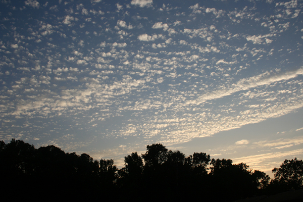
Photograph taken just after sunset, about 8:30 pm, onJuly 8, 2005 by Dave Kratz in Poquoson, Virginia. The image shows the west northwest sky where a field of cirroculmulus is in the process of slowly dissipating. Shortly after this image was taken, the clouds began to stretch out and become more diffuse. Later that evening the skies became mostly clear, though thin cirrostratus persisted in drifting overhead for several hours.
Photograph taken just after sunset, about 8:30 pm, onJuly 8, 2005 by Dave Kratz in Poquoson, Virginia. The image shows the west northwest sky where a field of cirroculmulus is in the process of slowly dissipating. Shortly after this image was taken, the clouds began to stretch out and become more diffuse. Later that evening the skies became mostly clear, though thin cirrostratus persisted in drifting overhead for several hours.