 Français
 Español
Lin's Tips for Cloud Observers
- NEVER LOOK DIRECTLY AT THE SUN!!! It will damage your eyes.
- Unless you live next to a tall skyscraper or a mountain, it is not possible to figure out the height of a cloud just by looking. This is because there are no points of reference in the sky. That's why our determination of height relies on identifying the cloud type. Hints for cumulus-type clouds: (Click on the photos for a bigger picture).
- Without the size clues provided by individual cumulus clouds, determining the height of stratus-type clouds can be a challenge. Some hints for stratus-type clouds:
- The most important thing is to pick a cloud type at the right level. The satellite instruments cannot distinguish cumulus from stratus from stratocumulus. All of them will be identified as low level water clouds.
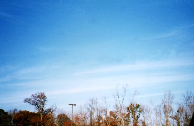
- When determining cloud fraction, consider the whole sky that you can see; not just the portion of sky right above you. If you are in an area where your view is partially blocked by trees or tall buildings, this is OK. Just find a safe area where you can see as much of the sky as possible, and then report from that same spot each time. If the only clouds you see are on the distant horizon, then these should not be counted. Clouds like that are probably farther away from you than the area of the satellite field of view, and you should report clear sky.
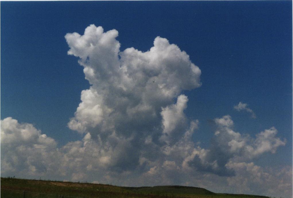
- "Why are cumulus clouds often darker on the bottom?"
The answer to this question is actually related to my principal area of research: the movement of solar radiation through inhomogeneous clouds. Basically, this is a shadowing effect, as shown pretty well in this picture. The water drops in the top of the cloud (or in a cloud above a low cloud) are shading the water drops at the bottom. What you are seeing is the shadow of the cloud on the cloud itself.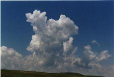
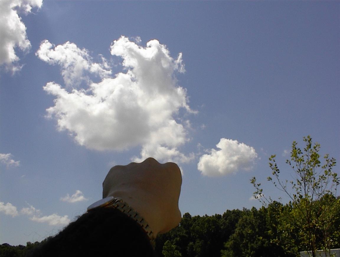
º Low cumulus cloud cells (the individual puffs of cloud) are about the size of your fist or larger, when you hold up your hand at arms' length.
º When cumulus clouds are just forming or evaporating, they can look considerably different from those that are fully-formed. Do not be fooled! Sometimes you can tell that the clouds are forming or evaporating if there is strong wind and both new and fully-formed clouds are moving along in the same layer. Other times you may have to look for other clues.
º Mid-level cumulus cloud cells (altocumulus) are about the size of your thumbnail when you hold your hand at arm's length. (Note that in the picture the clouds look larger then my thumb. This is because the photo was taken from behind me, considerably more than an arm's length from my thumb.

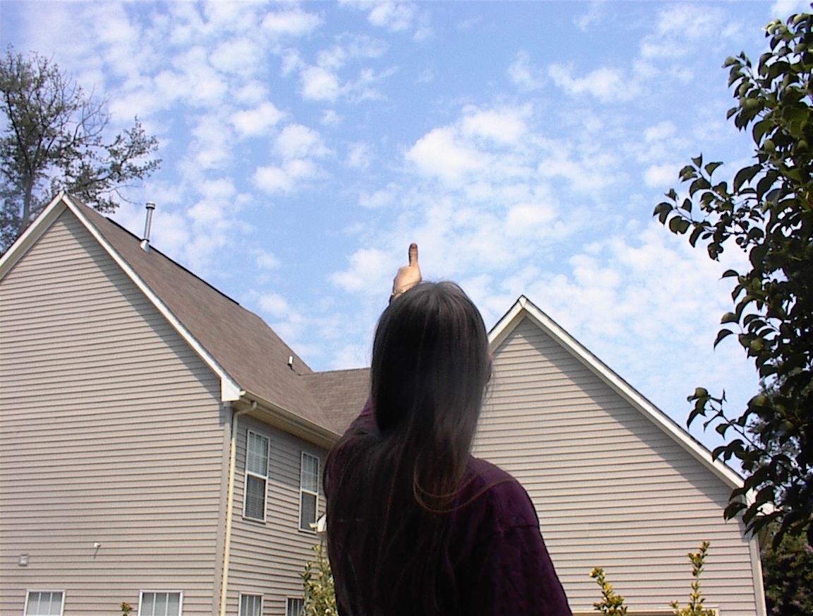
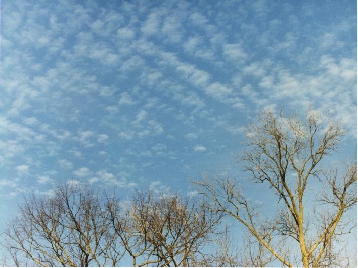
º High-level cumulus cloud cells (cirrocumulus) are about the size of the nail on your littlest finger - again, at arm's length.
º If it rained recently or is about to rain, you are most likely dealing with a low level stratus cloud. While it is possible for rain to fall from mid-level clouds, it is quite rare.
º If it is raining during your observation, you have nimbostratus (or cumulonimbus - but the difference should be obvious! The latter is a thunderstorm). The terms nimbo/nimbus are from a Latin word for rain.
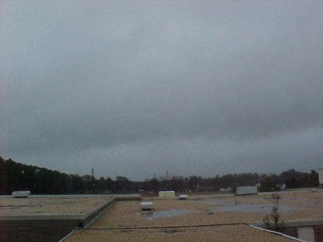
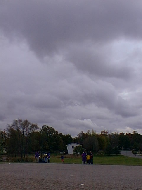
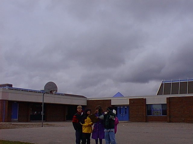
º If a stratus cloud is so thick you can't even figure out where the sun is, most likely it is a low level stratus. The visual opacity of such a cloud is opaque.
º If you can see the sun but it looks diffused (like looking through a glass bottle), most likely you have altostratus. The visual opacity would be translucent.

º High-level cirrostratus will generally be thin enough that the sun is still quite distinct. If the cirrostratus is not between you and the sun, you may be able to distinguish cirrostratus as being so thin that parts of the cloud appear bluish (that is, you are seeing through to blue sky). The visual opacity is transparent.
Questions or comments about these tips? Contact Cloud Team